The route at a glance
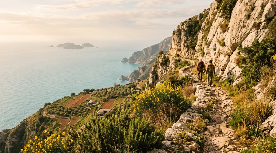
The Sentiero degli Dei, the Path of the Gods, connects Bomerano, a district of Agerola, with Nocelle high above Positano. The name goes back to a legend in which the gods hurried along this path to save Odysseus from the Sirens of the Li Galli islands. Until the coastal road was built, the path was one of the most important links between the towns on the coast and those in the mountains.
The classic route runs almost entirely downhill, with a few short climbs in between. Depending on the source and the variant, it measures around 8 to 9 kilometres to Nocelle, over road, broad steps and dirt tracks, in places also over rocky ground. The Touring Club Italiano gives the following elevations for the main points:
| Waypoint | Elevation | What to expect there |
|---|---|---|
| Bomerano (Agerola), piazza | 640 m | Start, bus stop, information boards |
| Grotta del Biscotto | 524 m | Cave beside the path with a fountain |
| Colle Serra | 578 m | Saddle, junction of the steps to Praiano |
| Nocelle (Positano) | 428 m | End of the classic path, local bus |
| Positano, coast | Sea level | Reached via about 1,700 steps |
Bomerano (Agerola): Start on the piazza of Bomerano, with the stop for the SITA buses from Amalfi.
Getting to Bomerano
Because the start and the finish are far apart, travelling by public transport is the best choice. The SITA line Amalfi-Agerola runs via Furore to Agerola and stops in Bomerano; according to the 2026 summer timetable, there are several departures in the morning. From Naples, another SITA line runs via Castellammare and Gragnano to Agerola, also stopping in Bomerano.
An alternative is offered by the shipping company Travelmar: it combines its ferries with a shuttle bus from Amalfi to Bomerano. This way you can reach the start with a single booking from Salerno, Vietri, Cetara, Maiori, Minori or Positano as well. According to Travelmar, near the Hotel Gentile in Bomerano there are information boards of the Monti Lattari Regional Park about the trail; from there a side road leads to the first red and white markings of the Club Alpino Italiano (CAI).
If you drive to Bomerano, you have to collect the car after the hike, and the way back from Positano to Agerola by bus with a change in Amalfi takes time. How to combine bus and ferry on the coast is explained in the article The Amalfi Coast without a rental car.
On the trail: markings and navigation
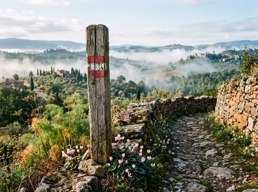
The path is marked in red and white. On the hiking map of the Monti Lattari, published by the CAI sections of Naples and Cava de’ Tirreni, the sections carry the numbers 27 and 31; on signs along the way, other numbers sometimes appear. The Touring Club points out that in places the markings are hard to see or hidden by plants, and that the surface is narrow or slippery in some spots.
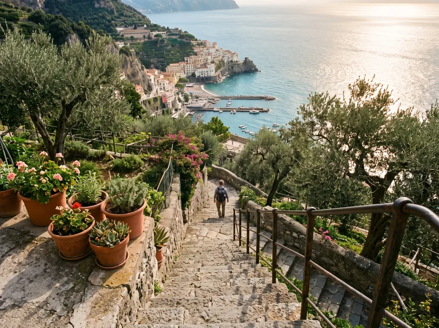
After the start, the path first goes downhill to the Grotta del Biscotto, a cave beside the path where, according to the Touring Club, there is a fountain. After that, the path runs as a narrow track along the slope, with views of Praiano, the coast and the open sea. At Colle Serra, the stepped path from Praiano meets the route; if you are staying in Praiano, you can join here, but you first have to climb many steps. The last section leads with small ups and downs to Nocelle, a small district of Positano.
Do not confuse the classic route with the path often called the upper Path of the Gods. It leads from Bomerano over Monte Tre Calli, at around 1,111 metres, to Montepertuso and is much more strenuous because of the many metres of climbing. For most visitors, the lower, classic path is the right choice. Along the way you pass cultivated terraces, gardens and pastures: stay on the path, close gates behind you and take your litter with you.
From Nocelle down to Positano
In Nocelle you have two options. The more comfortable is the local bus from Positano, which runs from Nocelle via Montepertuso down into town. Get your tickets beforehand if you can, for example in Positano or Amalfi, because they are not always sold on the bus. In high season the bus can be full, so expect a wait.
The second option is the descent via about 1,700 steps to the coastal road in the district of Arienzo, from where you continue on foot to the centre. The steps are hard on the knees; poles help. Once you arrive in Positano, you can return by ferry to Amalfi, Minori, Maiori, Cetara or Salerno; Travelmar explicitly offers this combination of hike and boat. The next day, a look at the same slopes from the water fits well, and you will find ideas in the article on boat trips on the Amalfi Coast.
Difficulty, duration and equipment
The Touring Club Italiano rates the route as a category E hike, that is, a marked hiking trail without scrambling, which calls for sure-footedness, some fitness and sturdy footwear. For its guided group hike it allows around six hours including breaks. If you walk briskly and stop little, you need less; plan half a day all the same. If you suffer from fear of heights, keep in mind that in some places the path runs along steeply falling ground.
For equipment, the Touring Club recommends light hiking shoes rather than trainers, at least one and a half litres of still water, sunglasses, a hat, a windproof jacket and provisions. Do not rely on the fountain at the Grotta del Biscotto alone. Add sun protection, a small first-aid kit with plasters and some cash for the bus and drinks. A light rucksack is better than a shoulder bag because it leaves your hands free on the steps.
The best time for the Path of the Gods
The path lies mostly in the sun. At the Naples-Capodichino weather station, the average daily highs in July and August are 30 to 31 degrees Celsius (1991 to 2020 average), in April and October around 19 to 23 degrees. Spring and autumn are therefore more pleasant. In summer, it is best to start early in the morning and avoid the midday hours on the unshaded sections.
After heavy rain, rocky passages are slippery, and it is then worth waiting a day. The path is very popular; at weekends and in summer you will meet many other walkers, and on narrow stretches that means waiting and stepping aside. Which months are suitable overall is shown by the Travel Time tool, and you will find more about the region on the page Amalfi Coast.