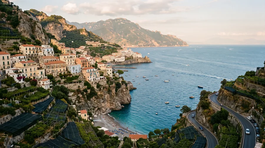
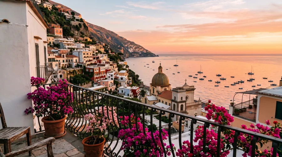
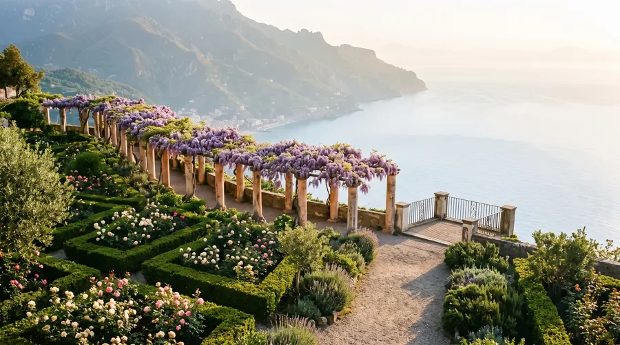
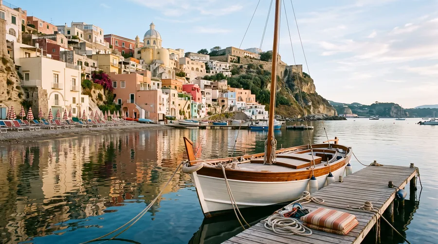
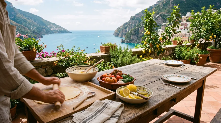
The Costiera Amalfitana lies on the southern side of the Sorrento peninsula, whose mountains separate the Gulf of Naples from the Gulf of Salerno. Between Positano in the west and Vietri sul Mare in the east, Praiano, Furore, Conca dei Marini, Amalfi, Atrani, Minori, Maiori and Cetara follow in close succession, while Ravello, Scala, Tramonti and Agerola lie above them on the slopes. In 1997 UNESCO added the coast to the World Heritage List as a cultural landscape; according to UNESCO, the site covers 15 municipalities, agricultural land and three nature reserves.
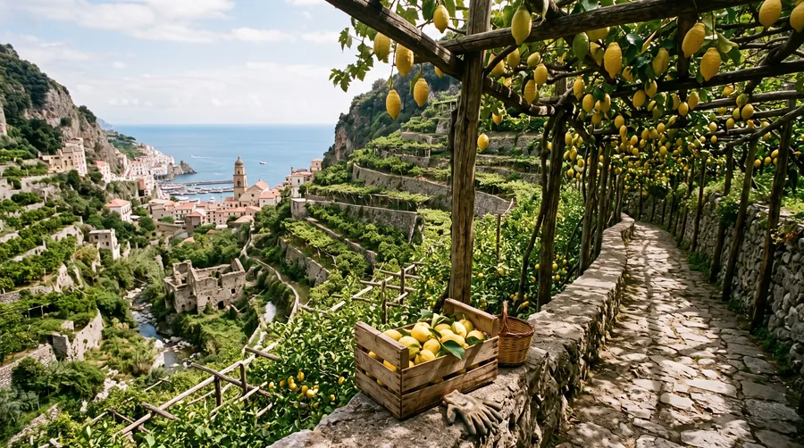
UNESCO justifies the listing with the interplay of nature and human work: medieval town centres such as Amalfi and Ravello with buildings in the Arab-Norman style, narrow lanes and steep stairways, and on the slopes terraces of lemons, olives and vines, held up by dry-stone walls. In the Middle Ages Amalfi was the centre of a maritime republic, and seafaring, trade and farming still shape the look of the coast today.
For planning a trip, the coast can be divided into three sections. In the west lie Positano and Praiano, steeply built, lively and close to Sorrento and Capri, which make good excursion destinations. In the middle, Amalfi, Atrani and Ravello form the core with the most connections. In the east, Minori, Maiori, Cetara and Vietri sul Mare are quieter and quickly reached from Salerno; Vietri is known for its ceramics.
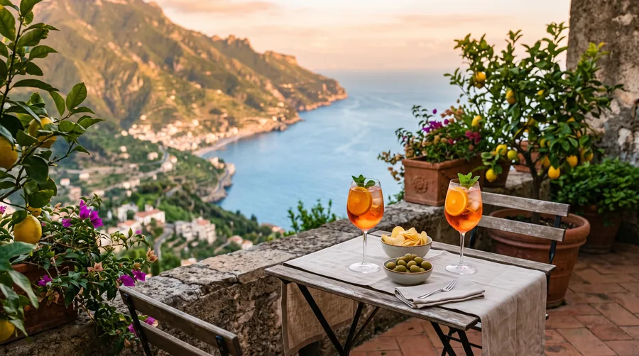
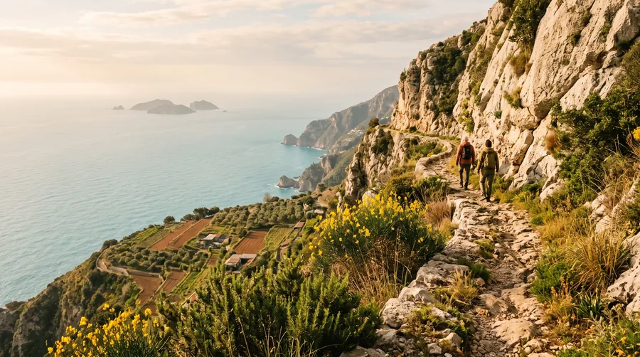
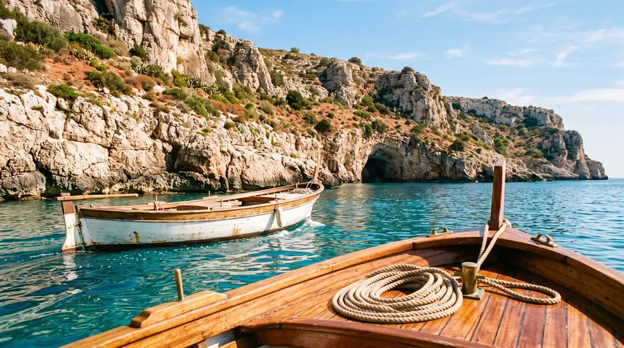
Above the coast run old connecting paths, the best known being the Sentiero degli Dei from Agerola to Positano. On the water, ferries link the towns, and boat trips reveal caves and coves that stay hidden from the road. The Sfusato Amalfitano lemon and the liqueur made from it are the culinary trademarks of the region, with more in the article on the lemons of the Amalfi Coast.