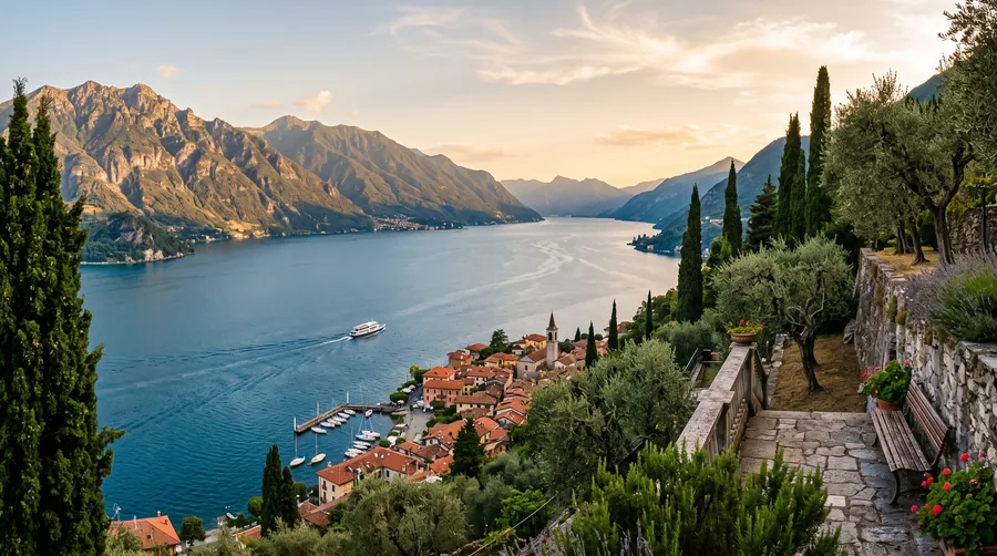
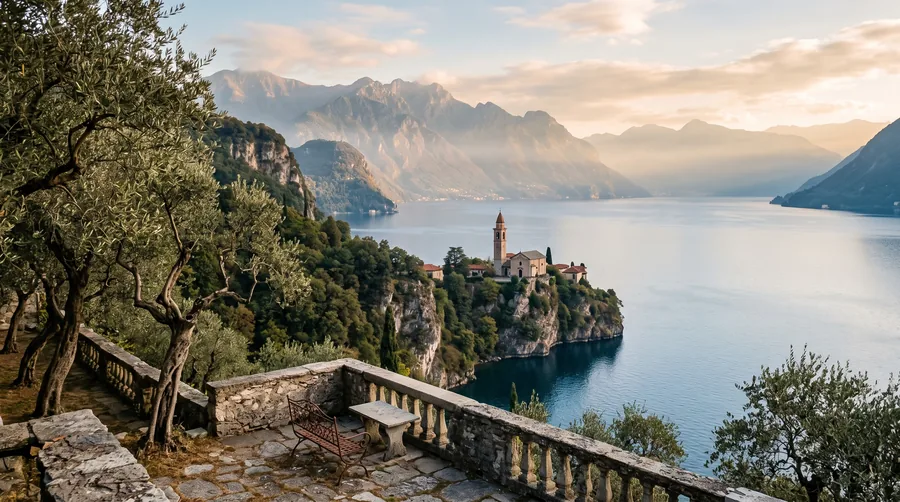
Lake Garda is Italy's largest lake and is shared between three regions: the north around Riva del Garda and Torbole in Trentino, the western shore with Salò, Gargnano and Limone in Lombardy, and the eastern shore with Malcesine, Garda and Bardolino in Veneto. Its position between the Alps and the Po plain shapes landscape and travel style differently on each shore.
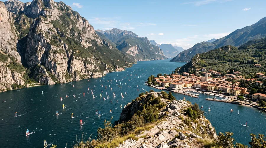
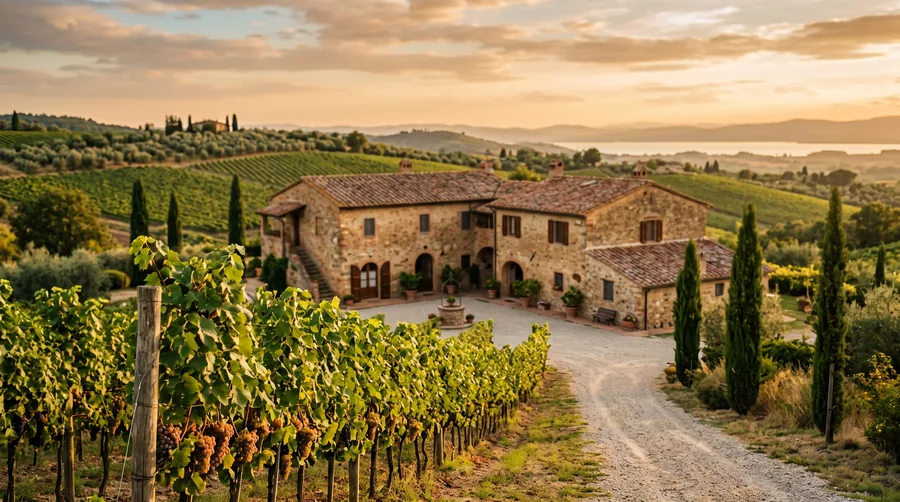
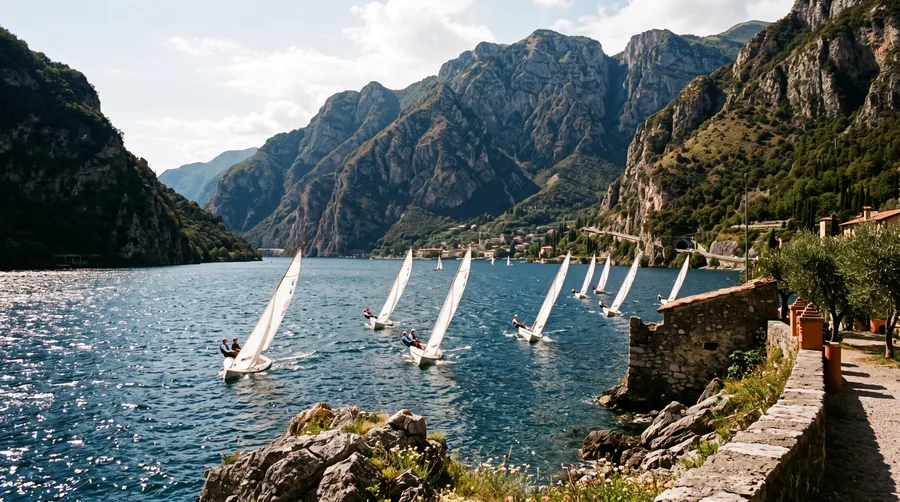
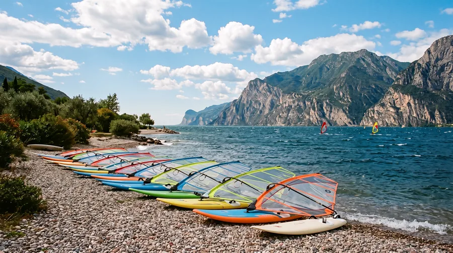
In the north the water lies narrow between steep mountains. Until late morning the Pelèr blows from the north, from midday the Ora from the south, and so Torbole and Riva have become meeting points for windsurfers, sailors and climbers. Towards the south the lake opens into a wide basin between moraine hills. There you find the Sirmione peninsula, the railway stations of Desenzano and Peschiera and the wine-growing areas of Lugana and Bardolino.
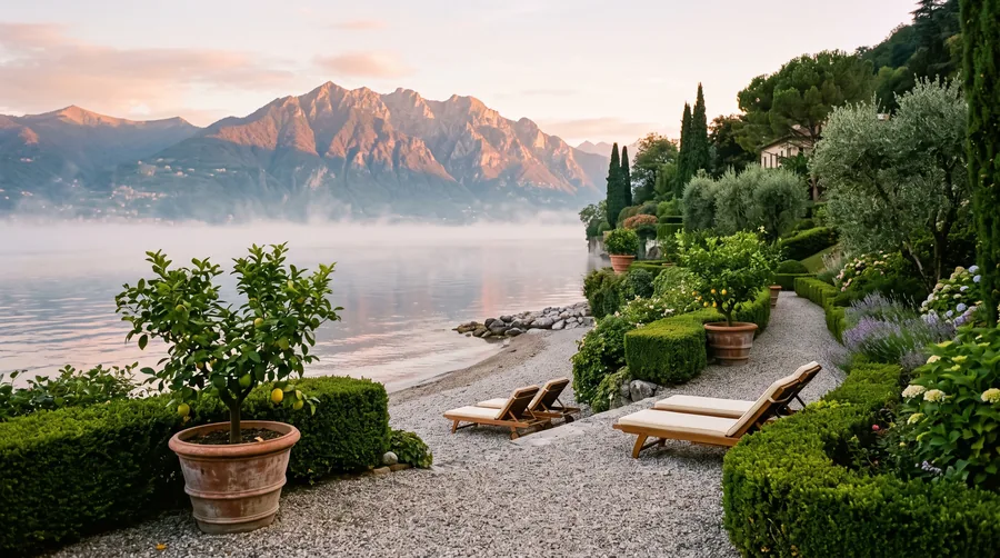
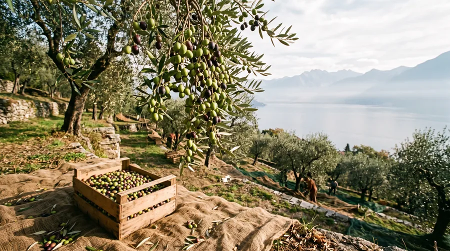
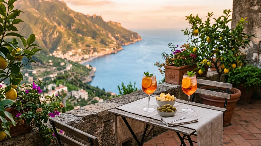
The western shore is the riviera of the lemon gardens, with villas, old limonaie and the high plateaus of Tignale and Tremosine. On the eastern shore Monte Baldo accompanies the lake, olive trees grow between the towns, and the cable car from Malcesine takes you up to about 1,760 metres in around 20 minutes.
A simple split helps with planning: sport and mountains in the north; family, rail travel and wine in the south; peace and culture in the west; hiking and evening sun in the east. The article Lake Garda: north or south explains which shore suits you; for quiet destinations, see Lake Garda off the beaten track.